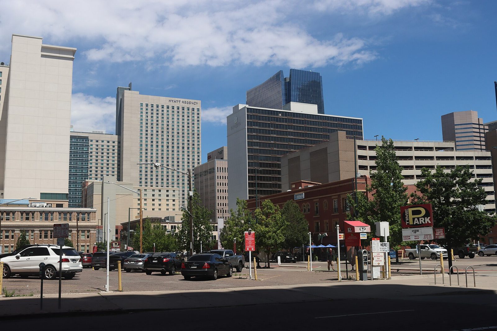
Stand outside Union Station and try to walk due north. You will not manage it. Downtown Denver’s grid is rotated roughly 45 degrees to line up with the South Platte River, so the streets that feel like north-south are running northwest-southeast, and the moment you cross Colfax or Broadway the whole city snaps back to a conventional compass grid. That one piece of geography explains more about getting around Denver than any transit map, because it is why visitors who are perfectly competent navigators elsewhere spend their first afternoon here walking confidently in the wrong direction.
The good news is that Denver is an easy city to move through once you understand its shape. The core is compact and walkable, a single rail hub connects the airport and most of the metro area to one building, and the downtown shuttle is free. The bad news is that the metro area sprawls for 50 miles along the Front Range, the rail network was built for commuters rather than visitors, and a handful of light rail lines are currently suspended. This page sorts out which of those facts affect your trip. Fares, routes and rules below were checked in September 2026; RTD ran a service change that month, so confirm anything time-critical before you travel.
How to Get Around Denver at a Glance
| Mode | What it costs | Best for | When it fails |
|---|---|---|---|
| Walking | Free | Downtown, LoDo, RiNo, Capitol Hill, Golden Triangle — the whole visitor core | Anything beyond about two miles; the grid rotation; winter wind on Colfax |
| 16th Street FreeRide | Free | The 1.25-mile downtown spine between Union Station and Civic Center | It only goes one place; walking is often as quick |
| RTD rail | $2.75 for 3 hours, $5.50 all day | Airport, Union Station, Golden, the southern suburbs, Empower Field | Cross-town trips; most rail radiates from Union Station, not between neighborhoods |
| RTD bus | Same fares | Colfax, Broadway, Boulder on the Flatiron Flyer | Evenings and Sundays on lower-frequency routes |
| Rideshare | Varies; surges hard after events | RiNo and Highland at night, awkward cross-town hops | Red Rocks show nights, Ball Arena and Coors Field at turn-out |
| Rental car | Rental plus $20–$45 a night downtown parking | Mountains, day trips, trailheads, Rocky Mountain National Park | Downtown-only trips, where it is pure cost and hassle |
| Bike or scooter | App-based, per-minute | The South Platte and Cherry Creek trails, RiNo, Wash Park | Winter ice; the altitude on any uphill you were not expecting |
The short version: if your trip is downtown, LoDo, RiNo, the museums and Union Station, you do not need a car and should not rent one. Take the A Line in from the airport, walk, and use rail or a rideshare for the handful of trips that fall outside the core. If the mountains, Red Rocks on a non-event day, Rocky Mountain National Park or a trailhead are on your list, rent a car for those days specifically rather than for the whole trip.
Denver’s Geography, and Why the Map Misleads
Three things about the layout will save you time.
The rotated downtown grid. Everything between Speer Boulevard and about 20th Street runs on the river’s diagonal. Numbered streets — 15th, 16th, 17th — run one way; named streets — Larimer, Lawrence, Arapahoe, Curtis, Champa, Stout, California, Welton — cross them. Those named streets run in alphabetical order, which is genuinely useful once you notice it. Step outside this pocket and the city reverts to a true north-south grid with numbered avenues, which is why the transition around Broadway and Colfax produces so many odd triangular blocks.
The mountains are always west. The Front Range fills the western horizon from almost anywhere with a clear sightline. It is the most reliable compass in the city, and it works even when the grid does not. If the mountains are on your left, you are walking south.
Broadway and Colfax are the axes. Street numbering counts outward from their intersection near the Capitol, splitting into east and west, north and south. An address on East 17th Avenue and one on West 17th Avenue are in different parts of town. Check which one your restaurant is on before you set off.
RTD: The Bus and Rail Network
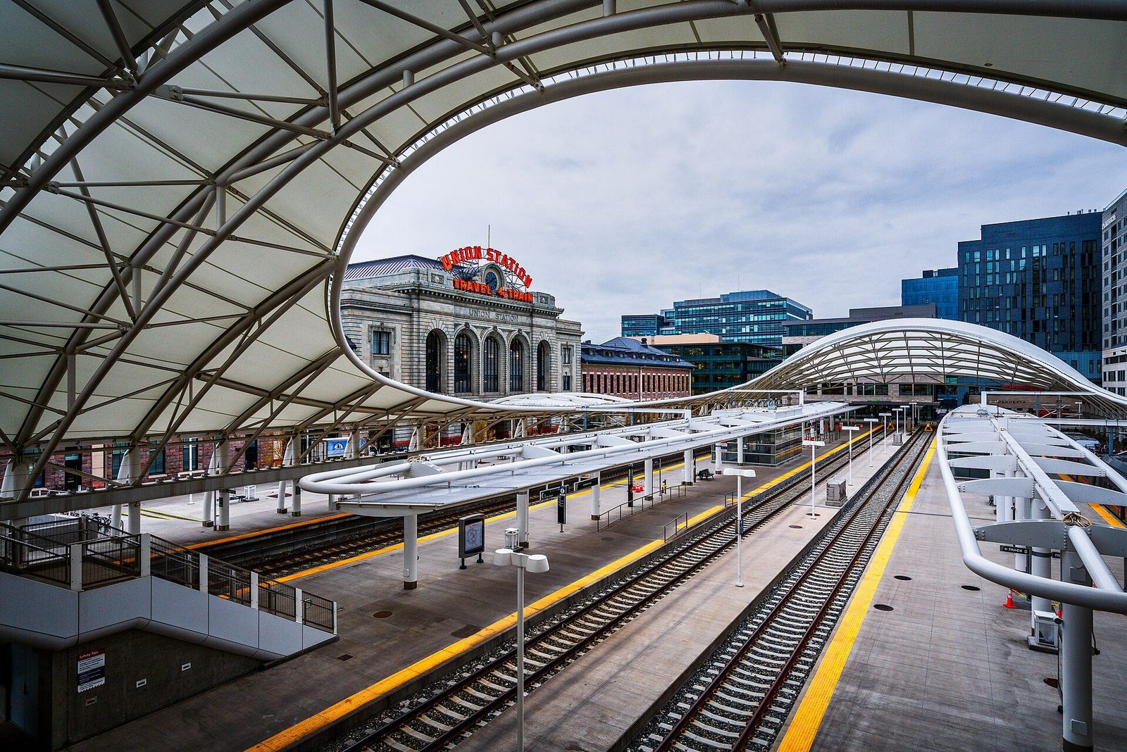
The Regional Transportation District runs everything public in the metro area — ten rail lines across about 113 miles of track, plus a large bus network reaching from Boulder to Castle Rock. It is a commuter system that visitors can use rather than a visitor system, and understanding that distinction saves a lot of frustration. It is excellent at moving you between a suburb and downtown. It is mediocre at moving you between two neighborhoods that are not downtown.
Fares and How to Pay
RTD’s fare structure is refreshingly simple, and these were the prices in September 2026:
- 3-hour local pass: $2.75. This is the standard single fare, and it is good for unlimited travel in that window, which makes it a short day pass in practice.
- Local day pass: $5.50. Two rides pay for it. If you are doing anything beyond a single out-and-back, buy this.
- Airport Day Pass: $10. Covers the A Line to or from Denver International plus everything else that day.
- Monthly pass: $88. Irrelevant for a visit, listed for completeness.
- Discounted fares: $1.35 for 3 hours, $2.70 a day, $27 a month for riders 65 and over, riders with a disability, Medicare recipients and those enrolled in RTD’s LiVE income-qualified program.
- Anyone 19 and under rides free, on every service, as does active-duty military. For a family this is a substantial saving that most visitors never discover.
Buy through the RTD NextRide app, through RTD’s online store, or in person at more than 150 King Soopers and Safeway stores across the metro area. The app is the simplest option for a visitor and means you are never hunting for a machine in the cold. If you plan to pay another way, check the current options on RTD’s own site before you travel rather than assuming.
The Rail Lines, Explained
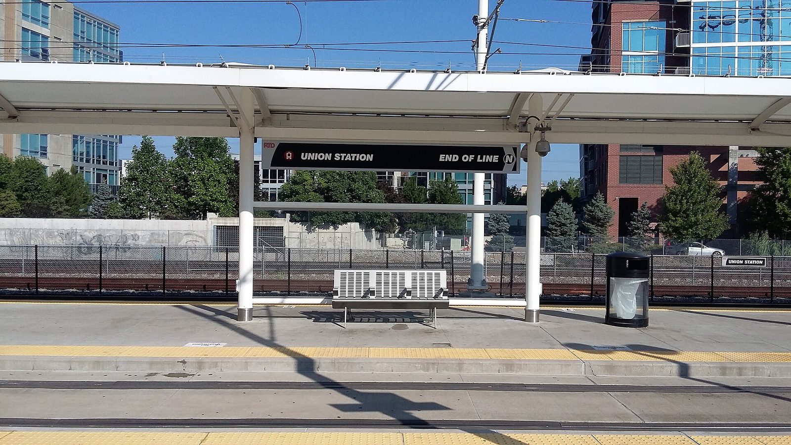
RTD runs two different kinds of train and it is worth knowing which is which. The commuter rail lines are electrified, faster, and all start at Union Station: the A Line to Denver Airport Station, the B Line to Westminster, the G Line to Wheat Ridge Ward, and the N Line to Eastlake and 124th. The light rail lines currently running are the C (Union Station to Mineral), E (Union Station to RidgeGate Parkway), R (RidgeGate Parkway to Peoria), T (Lincoln to I-25/Broadway) and W (Union Station to the Jefferson County Government Center at Golden).
Note what is missing. The D, H and L Lines are shown as suspended, and have been through 2026. A lot of older guidance, and a lot of third-party trip planners, still route people onto them. Always check the line is actually operating before you build a morning around it.
For a visitor, four of these matter:
- A Line — the airport connection, about 37 minutes from Union Station, running to a schedule frequent enough that you do not need to plan around it. The single most useful piece of transit in the city.
- W Line — Union Station to Golden, which puts the Colorado School of Mines town, Clear Creek and the Coors brewery within reach without a car. It also drops you near Empower Field.
- E Line — the southern spine, useful for the Denver Tech Center and for reaching the southern suburbs.
- C Line — the other southern option, and the one that serves Broadway and the I-25 corridor.
Buses, and the One You Will Actually Use
The bus network is where RTD covers the gaps rail leaves. Two services matter most to visitors. The Colfax corridor carries the highest ridership in the system and runs the full width of the city along the country’s longest continuous commercial street — it is how you reach the eastern neighborhoods and a lot of the live music. And the Flatiron Flyer runs Denver Union Station to Downtown Boulder Station in about 55 minutes, with branches also serving Westminster, Broomfield, Louisville and Superior. It is a regional fare rather than a local one, so check the current price before you board.
Bus frequency on the main corridors is good on weekdays and thins noticeably in the evenings and on Sundays. Treat a 9pm bus on a secondary route as a plan that needs a backup.
Luggage, Strollers and Groups
The A Line is comfortable with suitcases — the commuter rail cars have space and the trip is short — which is the main reason it beats a rideshare for two people arriving with luggage. Light rail is tighter and gets genuinely awkward at commuter times, so if you are moving hotels midweek at half past five, wait half an hour. Strollers are fine on both, though you will be folding on a busy car. The one arrangement that does not work well is a group of four or more with large bags trying to travel together on light rail; split the group or take two cars.
Where RTD Lets You Down
Honesty is more useful than a route list here. RTD is built around Union Station, which means travel between two non-downtown points is often slower by transit than it has any right to be — a trip from Washington Park to RiNo, maybe four miles as the crow flies, can involve going into the middle and back out. Evening frequency drops. And several light rail lines that appear on old maps are not running. If a journey looks awkward on the app, it probably is awkward, and a rideshare for that one leg is usually the right call rather than a heroic transit connection.
The 16th Street FreeRide
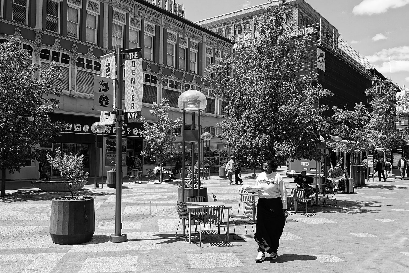
The free downtown shuttle is the single easiest thing in Denver transport. It runs the full 1.25-mile length of 16th Street between Union Station and Civic Center, seven days a week, at roughly five-minute intervals, and costs nothing. You board at any corner; there is no ticket, no tap and no queue.
One important correction to older guides: 16th Street spent years as a construction site during a $175.4 million reconstruction, and a great deal of published advice still describes it that way. The full corridor reopened in October 2025, and the shuttle returned rebranded as the 16th Street FreeRide, having previously been the Free MallRide. Anything you read describing 16th Street as torn up, or the shuttle as suspended, is out of date.
The honest caveat: the shuttle is convenient rather than fast. Walking the length of 16th Street takes about 25 minutes and you see considerably more. Use the FreeRide when you are carrying things, when it is snowing, or when you are tired at the end of a day — not as your default way to cross downtown.
Walking Denver
Walking is genuinely the main way to see this city, and the visitor core is more compact than the metro area’s sprawl suggests. From Union Station you can reach Larimer Square in eight minutes, Coors Field in ten, the Denver Art Museum in twenty-five and the Colorado State Capitol in about thirty. RiNo is a fifteen-minute walk northeast from Union Station, across the tracks and under the viaduct. Almost everything a three-day visitor wants is inside a two-mile radius of that building.
Three Denver-specific walking notes. The altitude means stairs and gentle inclines take more out of you than they would at sea level on the first day, so do not schedule the full museum mile for your arrival afternoon. Shade is scarce in summer on the wide downtown streets, and the sun at 5,280 feet is strong enough that a hat is not vanity. And crossing Speer Boulevard or Colfax on foot involves proper multi-lane intersections rather than genteel city crossings — use the signals.
Cycling and Scooters
Denver’s trail network is the real reason to ride here. The South Platte River Trail and the Cherry Creek Trail meet at Confluence Park and run for miles in each direction, entirely separated from traffic, connecting downtown to Washington Park, the Highlands, Globeville and points well beyond the city. A bike turns Denver from a walkable core surrounded by a driving city into a coherent whole.
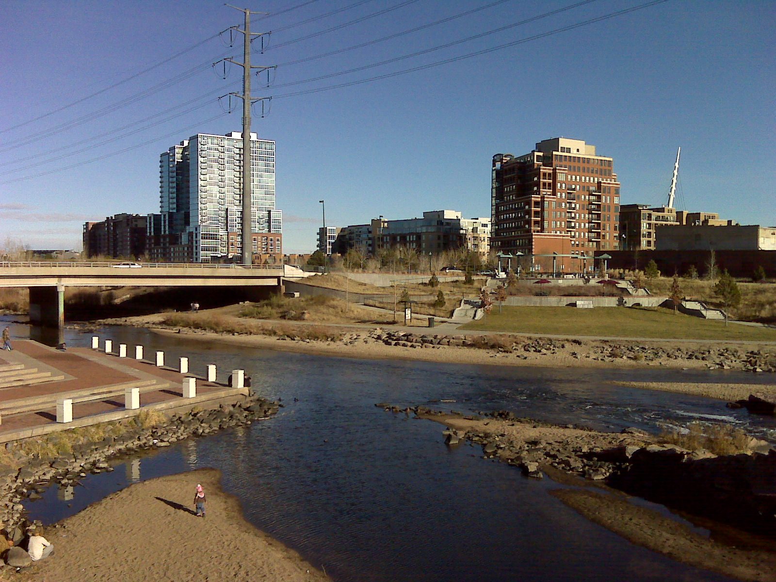
Dockless e-bikes and scooters are widely available through app operators, unlocked and paid for per minute. Which companies hold the city permit has changed several times, so check what is actually on the street when you arrive rather than downloading an app in advance.
If you are bringing a bike onto light rail, RTD’s in-car Bike Zone rules are posted and enforced: stand and hold your bike at all times, never leave it unattended, a maximum of two bikes per bike zone, and no bikes behind the train operator. Two bikes per zone is the constraint that catches groups out — a party of four cyclists cannot travel together in one zone.
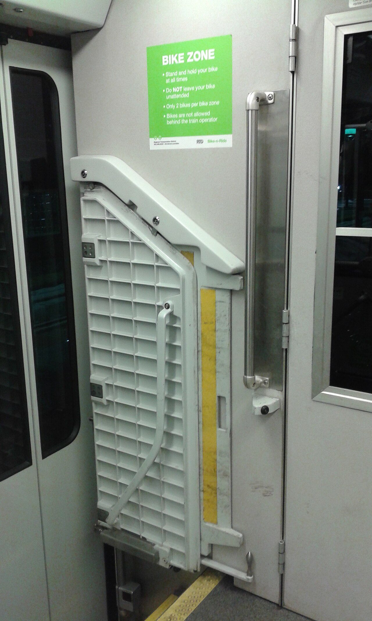
The altitude caveat applies to cycling more than walking. A gradient you would not notice at home will make itself known here, and the dry air dehydrates you faster than the effort suggests. Carry water on anything longer than an hour.
Driving and Parking
When a Rental Car Is Worth It
Rent a car if you are going to the mountains, Rocky Mountain National Park, a trailhead, Red Rocks on a non-event day, or any of the day trips that are not Boulder. Do not rent a car for a city-only trip. Downtown hotels charge separately for parking, frequently $20 to $45 a night, and you will spend the whole stay paying to store a vehicle you use twice.
The efficient compromise on a five-day trip is to do the city days on foot and rail, then pick up a rental for the two days you are heading west. Several agencies have downtown locations, which avoids a trip back out to the airport.
Parking Downtown
Street parking downtown is metered and enforced, with rates and hours posted on the meters; garages are plentiful and cost more the closer you are to the 16th Street corridor. Two specifics worth knowing: event parking prices float upward around Coors Field, Ball Arena and Empower Field on game days, and Meow Wolf Convergence Station charges $15 for its lot and closes it entirely during Broncos home games because of its position by the stadium. Check what is on at the venue nearest your destination before you commit to driving.
I-70 and the Mountain Corridor
Everything west of Denver funnels onto Interstate 70, and that single fact governs mountain travel from the city. On winter weekends, and on peak fall-color weekends, westbound I-70 on a Saturday morning and eastbound on a Sunday afternoon are regularly at a standstill. Leaving before six in the morning or after ten works. Leaving at eight on a powder Saturday does not.
Practical points for the corridor: the Eisenhower–Johnson tunnels sit above 11,000 feet and weather up there bears no relation to weather in the city; Colorado enforces traction requirements on I-70 during winter storms, so a rental with all-season tires and no chains can be turned around; and mountain roads have their own seasons. Mount Blue Sky Road typically reopens over Memorial Day weekend, requires a timed-entry reservation booked on recreation.gov two days ahead with a $2 reservation fee on top of entry, and closes progressively from early autumn — in 2026 the section above Summit Lake shut on 8 September. Rocky Mountain National Park runs a separate timed-entry permit system in season, and nobody can promise a Trail Ridge Road opening date.
Weather and Road Conditions
Denver gets 49 inches of snow a year, but it arrives in a handful of large storms rather than a continuous winter. The city plows quickly and the intense high-altitude sun clears pavement fast, so a storm usually costs you a day rather than a week. Watch for the refreeze: a wet afternoon becomes black ice at seven in the evening when the temperature drops through freezing, and that catches visiting drivers more often than the snow itself does.
Rideshare, Taxis and Tours
Uber and Lyft both operate across the metro area and are the default for evening trips between neighborhoods where transit is awkward. Costs are reasonable outside peak times and rise sharply in two predictable situations: when a show lets out at Ball Arena, Coors Field or Empower Field, and at Red Rocks after a concert, where several thousand people request cars simultaneously from a parking lot in the foothills. For Red Rocks specifically, the amphitheatre’s own post-show shuttle runs from the Top Circle Lot and Trading Post to the Jurassic Lot, and a pre-arranged plan beats standing in a canyon with no signal refreshing an app.
Traditional taxis still operate and can be found at hotel ranks and the airport, though app-based services dominate. If you need a car seat or wheelchair-accessible vehicle, book ahead rather than hailing.
Getting To and From the Airport
Denver International sits 25 miles northeast of downtown on a site of about 53 square miles — larger than the city limits of Boston, Miami or San Francisco, and the fourth-busiest airport in the United States with 82.4 million passengers in 2025. It is a long way out, and the transport choice matters more than at most airports.
- A Line train, $10 Airport Day Pass. About 37 minutes to Union Station, unaffected by traffic, and the pass covers the rest of your travel that day. For one or two people this is not just cheapest but usually fastest.
- Rideshare. Convenient with luggage or a group, considerably more expensive, and subject to I-70 and Peña Boulevard traffic.
- Rental car. Sensible only if you are driving straight to the mountains. Picking up a car at DEN to drive downtown and park it for four days is the most expensive way to arrive.
Budget extra time in the terminal itself. The Great Hall Program is rebuilding the Jeppesen Terminal under the tent roof — ticket counters, restrooms, security and thirty-year-old infrastructure — with completion due in 2027, so expect construction hoardings and rerouted walkways. Our full airport guide covers the concourse layout and the train between them.
Reaching Specific Places
The practical answer for the destinations visitors most often ask about:
| Destination | Best way | Notes |
|---|---|---|
| Denver International Airport | A Line from Union Station | ~37 min, $10 Airport Day Pass |
| Red Rocks Amphitheatre | Car, or event shuttle on show nights | 15 miles west, I-70 exit 259 near Morrison. Free parking on non-event days |
| Boulder | Flatiron Flyer bus from Union Station | About 55 minutes; regional fare |
| Golden | W Line light rail | Terminates at the Jefferson County Government Center |
| RiNo Art District | Walk from Union Station | About 15 minutes northeast, under the viaduct |
| Denver Museum of Nature & Science | Bus, or a 3-mile ride | City Park is outside comfortable walking range from downtown |
| Denver Botanic Gardens | Bus or rideshare | 1007 York Street; on-site parking is limited |
| Coors Field | Walk from Union Station | About 10 minutes; do not drive on a game night |
| Rocky Mountain National Park | Car only | Timed-entry permit required in season |
| Ski resorts | Car or a booked shuttle service | I-70 westbound; leave before 6am on winter weekends |
Accessibility
RTD buses and rail vehicles are accessible, and discounted fares apply to riders with a disability and to Medicare recipients at $1.35 for three hours or $2.70 for a day. Downtown Denver is largely flat, which helps, though the combination of altitude and distance is worth factoring into how much you plan in a day.
The altitude is an accessibility question in its own right and is not usually treated as one. Thin air at 5,280 feet makes any exertion harder, and visitors who manage a full day comfortably at sea level often find they need a rest in the afternoon here for the first two days. Build in more sitting-down time than you think you need, carry water, and treat the first day as a short one. Anything involving a heart or lung condition is a question for your own doctor rather than a travel guide.
Two venue-specific notes that come up constantly. Red Rocks is a natural amphitheatre carved into a hillside with rows running to at least 70, and accessible seating sits at row 1 and row 70 rather than being distributed; plan the approach rather than the seat. And the Colorado State Capitol dome involves 99 steps above the third floor with no elevator, so the dome climb is genuinely not available to everyone, though the rest of the free tour is.
Frequently Asked Questions
Do you need a car in Denver?
Not for the city. Downtown, LoDo, RiNo, the museum district and Union Station work entirely on foot, the FreeRide and rail. You need a car for the mountains, trailheads, Rocky Mountain National Park and most day trips other than Boulder. Renting for specific days rather than the whole stay is usually the cheaper answer once downtown parking is counted.
How much is public transport in Denver?
$2.75 for a 3-hour local pass, $5.50 for a local day pass, $10 for the Airport Day Pass covering the A Line, and $88 monthly. Discounted fares of $1.35 and $2.70 apply for riders 65 and over, riders with a disability, Medicare recipients and LiVE program participants. Anyone 19 and under rides free, as does active-duty military. Prices checked September 2026.
How do you get from Denver airport to downtown?
The A Line train to Union Station, about 37 minutes, on a $10 Airport Day Pass that also covers your other travel that day. Rideshare is the alternative if you have a lot of luggage or a group, at considerably higher cost and subject to traffic.
Is the 16th Street Mall shuttle still running?
Yes. It reopened with the rebuilt corridor in October 2025 and is now called the 16th Street FreeRide. It runs the 1.25 miles from Union Station to Civic Center seven days a week at about five-minute intervals, and it is free. Guides describing 16th Street as a construction site are out of date.
Is Denver light rail safe and reliable?
It is a normal urban transit system: fine during the day and on busy corridors, quieter and less pleasant late at night on outlying stretches, as anywhere. The bigger practical issue is coverage rather than safety — the network radiates from Union Station, so cross-town trips between two outer neighborhoods are often slow, and the D, H and L Lines are currently suspended.
Can you walk everywhere in downtown Denver?
Yes, and you should. Union Station to the Capitol is about thirty minutes, to Coors Field ten, to RiNo fifteen. The core is compact and flat. Allow for the altitude on your first day and for the rotated grid, which will point you the wrong way at least once.
How do you get to Red Rocks without a car?
On concert nights, booked shuttle services run from downtown and are the practical answer; the venue’s own shuttles move people between its lots rather than into the city. On non-event days, when the park, amphitheatre, Visitor Center and Trading Post are all free to enter and free to park at, there is no scheduled public transit to the site and a rideshare or rental car is the realistic option. Have a plan for the return leg before you go.
What is the best way to get to Boulder from Denver?
The Flatiron Flyer bus from Denver Union Station to Downtown Boulder Station, about 55 minutes end to end. It is a regional fare rather than a local one. Driving takes a similar time outside peak hours and then leaves you paying for Boulder parking.
Do buses and trains run late in Denver?
Main corridors run into the evening, but frequency drops off substantially after about 9pm and on Sundays, particularly on secondary bus routes. If you are out late in a neighborhood away from the rail lines, budget for a rideshare home rather than relying on a last bus.
Game nights are where this network earns its keep. Coors Field is ten minutes on foot from Union Station, Ball Arena about twenty, Empower Field is a light rail stop, and rideshare prices at turn-out make the train an easy decision. Our guide to Denver sports sets out the venues, the capacities and the one stadium that genuinely is awkward to reach.
Fares and rail lines are only half of finding your way here. The downtown grid is rotated 45 degrees, addresses count outward from Broadway and Colfax, and the most reliable compass in the city is the Front Range on the western horizon. Our guide to Denver travel tips covers navigation alongside the altitude, the real costs and the booking windows that catch first-time visitors out.
Related Denver Guides
- Things to Do in Denver — the full attractions guide, with what each one costs to reach.
- Denver Itinerary — one to five days, routed so you are not crossing the city twice.
- Denver Airport Guide — DEN’s concourses, the Great Hall works and the A Line in detail.
- Downtown Denver — the districts inside the rotated grid, block by block.
- Denver Neighborhoods — which parts of the city are worth the trip out.
- Best Time to Visit Denver — including the months when I-70 and the mountain roads work against you.
- Day Trips from Denver — which ones need a car and which do not.
- Where to Stay in Denver — including what hotel parking actually costs.
Photo Credits
RTD light rail platform at Union Station, Denver: photo by Xnatedawgx / Wikimedia Commons (CC BY-SA 4.0)
Bike Zone sign inside an RTD light rail car: photo by Xnatedawgx / Wikimedia Commons (CC BY-SA 4.0)
Rail line details and ticketing channels were taken from RTD’s own site and fares, tax rates and venue rules were checked against operators’ own sites in September 2026. RTD ran a service change that month and line status changes — confirm before you travel.
Denver Tourism Guide is an independent publication. We are not affiliated with VISIT DENVER, the City and County of Denver, RTD or any attraction listed here.